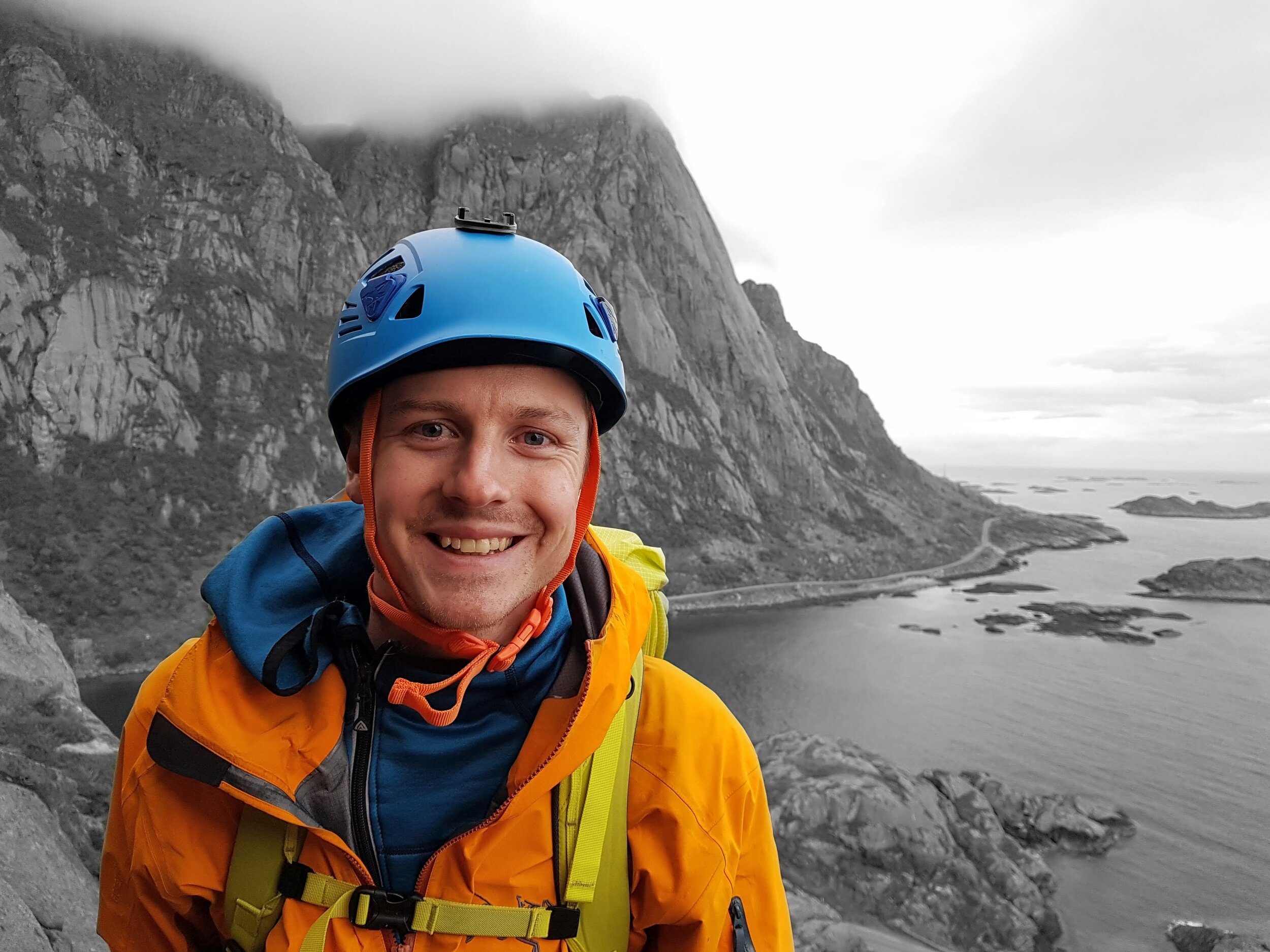

Climbing Norway's Highest Mountain: Galdhøpiggen
The Svellnosbreen glacier has some interesting crevasse fields to navigate, and endless potential for summer ice climbing! We got distracted by the peak of Galdhøpiggen and abandoned our original plan of ice climbing and crevasse exploration to head straight to the summit.
At 2469 m above sea level, Galdhøpiggen is the tallest mountain in Norway, Scandinavia and northern Europe, but climbing Norway’s highest peak was one of the easier mountain ascents on our Norway road trip. We decided to climb Galdhøpiggen by setting off from the Spiterstulen Lodge in Visdalen and traversing the Svellnosbreen glacier via its impressive crevasse fields, then heading back down the regular hiking route via Keilhaus Topp (GPX plotted below). This route was just under 18 km long and involved 1650 m elevation climbed – not a great deal in terms of effort level, though navigating crevasse fields, tooling up for glacier travel, and route finding in a surprise July blizzard made for an interesting ascent! In total, we spent over 8 hours on the ascent and just under 5 hours on the descent – using an easy pace most of the way with regular breaks for photos and snacks.
We ended up climbing this mountain on an impulse, as we had intended to spend the afternoon ice climbing and exploring the crevasses at the steeper sector of the glacier, and potentially hiking to the peak the following day. After looking towards the peak of Galdhøpiggen from the ice and also noting the incredible weather, we were tempted to just go for the peak and decided to traverse the glacier and get it climbed. This did mean that we were a little under-prepared in terms of food and water, but we managed to make a small icy detour to a waterfall and refill water bottles half way up.
The route we took to reach the peak of Galdhøpiggen – across the crevasse field of Svellnosbreen, then traversing the glacier, up the ridge to the peak, then back down via Keilhaus topp and via the regular hiking route. If you’re interested in the GPX file, send me a message! Image: NorgesKart.
The route started at the wonderful Spiterstulen Lodge, which provided a good breakfast and an option to pack a lunch for the day. We had a late start and set off from the lodge through Visdalen and headed up and across the moraines to the glacier terminus. We then spent some time to get kitted up for glacier travel: harness, crampons, ice axe and crevasse rescue tools, before tying into either end of the rope and coiling the rest onto our shoulders (pictured). The lower part of the glacier was heavily crevassed and offered some incredible ice formations to scramble over and explore. In previous glacier trips we have gotten too distracted by this exploration aspect of glacier travel and spent way too much time saying “Let’s just climb this next crevasse” before running out of time and having to head home. This time however, we could see the summit of Galdhøpiggen which did not seem so far away, and the weather was looking fine. We decided to just go for it.
Crossing snow-covered glaciers requires some basic gear, ice tools, and adequate knowledge of how to get someone out of a crevasse in the event of snow bridge collapse!
We exited the crevasse fields unscathed and started the long traverse over the flatter parts of the glacier towards the ridge. As we reached higher ground, occasional glances towards Visdalen behind us informed us that the intimidating cluster of dark clouds were in fact heading our way (check out my video edit of the Galdhøpiggen Climb for more footage). Despite an incredibly clear sky just 30 minutes beforehand, we were soon in the middle of a proper snowfall, in July – such is the weather in mountainous Norway!
Crossing the bergshrund (the point where the glacier creeps away from the flanking rockwall) was easy, and we packed away the rope, harness and crampons and began to make our way up what was becoming a heavily snow-covered ridge.
We slowly made our way up the steep ridge towards the summit, while the snow and clouds surrounding us got heavier and thicker, reducing the visibility to less than 10-20 metres. By the time we made it to the final few kilometres, we were battling through thick snowfall and strong wind, while kicking steps into the snow and stopping every few 100 m to check our map and confirm that we were still heading the right way.
Eventually we spotted the summit hut emerging through the blizzard and after a short section of steeper, deeper wading through the fresh snow we got to the peak of Galdhøpiggen around 9 pm after 8 hours of hiking!
Unsurprisingly, the peak did not offer any views in the surrounding snow storm, but we felt pretty happy to have made the summit given the weather! We were though starting to feel exhausted, hungry, and were thoroughly soaked from the wet summer snow. To our complete surprise, we saw some candles lit inside the summit hut and we knocked on the door to find someone living inside! He kindly provided warm drinks, refilled our water bottles, handed us some Kvikklunsj, and cooked up some pølse…without which the long descent might have been a lot more miserable! We sat in front of some heaters feeling thoroughly like tourists while our outer layers dried off, and we chatted for some time while gathering the motivation to head back out into the blizzard to descend to our cold tent at Spiterstulen.
We reached the summit in a full July blizzard! No views from the top, but the feeling of accomplishment was there.
The way down felt pretty tough, as we waded through knee-deep snow and struggled with the aches acquired on the ascent – but without the motivation of a summit in front of us. Soon after leaving the hut my knees started to hurt and buckled occasionally while wading through the snow - this slowed us down a little, as I had to be careful not to injure them further. We made it down in just under 5 hours, and enjoyed some snow patch surfing (see video at the end) on the steeper sections that gave our legs a welcome rest and quickened our pace towards the valley. We encountered an Arctic Fox on the way down, which appeared out of the thick fog at a moment when we started to question if we were going the right way. We followed it down towards the valley where our animal spirit guide directed us towards the right path and we enjoyed some incredible views towards Spiterstulen as the clouds parted.
We spent the entire descent laughing and cheery, possibly aided by the state of extreme tiredness we had reached by then, and got back to the tent around 3:30 am when the sun was starting to rise from behind the mountains. Despite it not being the most technical of peaks we both felt a strong satisfaction at how enjoyable the trip had been…and then exhaustion.
I can highly recommend this trip and the route we took to anyone looking for a fun mountain trip with a working knowledge of glacier travel procedures. There are also many alternative routes that do not require a glacier traverse (i.e. our down track) and it is possible to set off from the other direction from Juvasshytta.
Thank you for reading this blog post, and I hope you enjoyed my write up of our Galdhøpiggen ascent. If you’re interested in more technical reading around mountain activities I have a page on tech tips/gear reviews which I’ll be adding more to soon. After this weeks mountain tales writing about Norway’s highest mountain, next week I will write about our ascent of Norway’s national mountain: Stetind.
Let me know in the comments or direct message if you have any thoughts or questions, and please reach out if you would like a copy of the GPX file to head up the same route that we did!
- Calvin -
Elevation profile for a simplified version of our GPX track (hence shorter distance and height gained). My watch altimeter may also need calibrating! Image: NorgesKart.
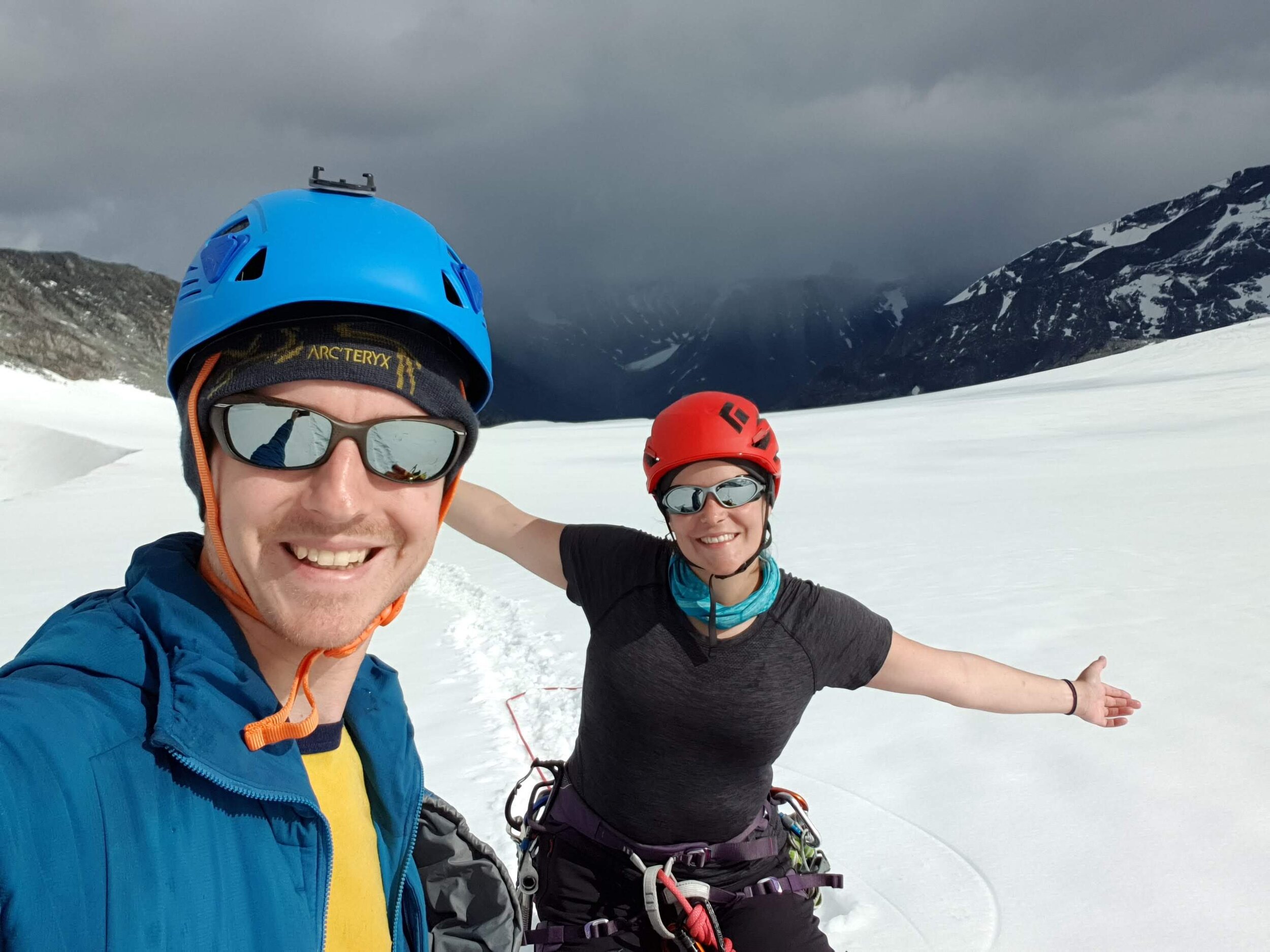
All smiles after crossing our favourite terrain: glacier crevasse fields!